About GET-IT®
News, updates, and events on GET-IT®
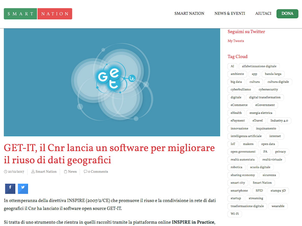
21 Dec 2017
Smart Nation talks about GET-IT and its functionality regarding the INSPIRE Directive.
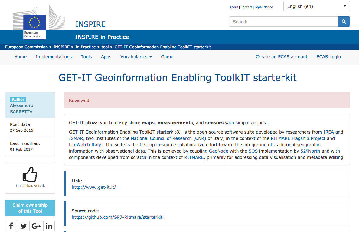
01 Feb 2017
The GET-IT software was recently recognized a useful tool to make the INSPIRE Directive operational. GET-IT is now reviewed and registered in the “INSPIRE in Practice” catalogue. “INSPIRE in Practice” is the official INSPIRE platform dedicated to every user engaged in geographic information domain who would adopt tools contributing to spatial data interoperability among different European countries. “INSPIRE in Practice” is particularly devoted to give visibility to practices and means able to implement the INSPIRE Directive, resulting in an online collaborative framework that fosters the exchange of knowledge and expertise between different users.
GET-IT was developed by CNR-IREA and CNR-ISMAR in the RITMARE research framework in order to enable researchers to manage, share, visualize and download spatial data according to OGC standards. GET-IT allows managing maps, observations and documents by using a single tool resulting in the first open-source collaborative effort toward the integration of traditional geographic information with observational data. GET-IT is a tool that could be easily adopted by a different range of researchers in their working practice, not only to manage different types of spatial data but also to easily compile corresponding metadata. GET-IT includes the EDI metadata editor tool for the guided metadata creation and publication according to INSPIRE standards.
GET-IT is distributed with an open-source license ( GPL v.3.0 ) and through a ready to use virtual machine.
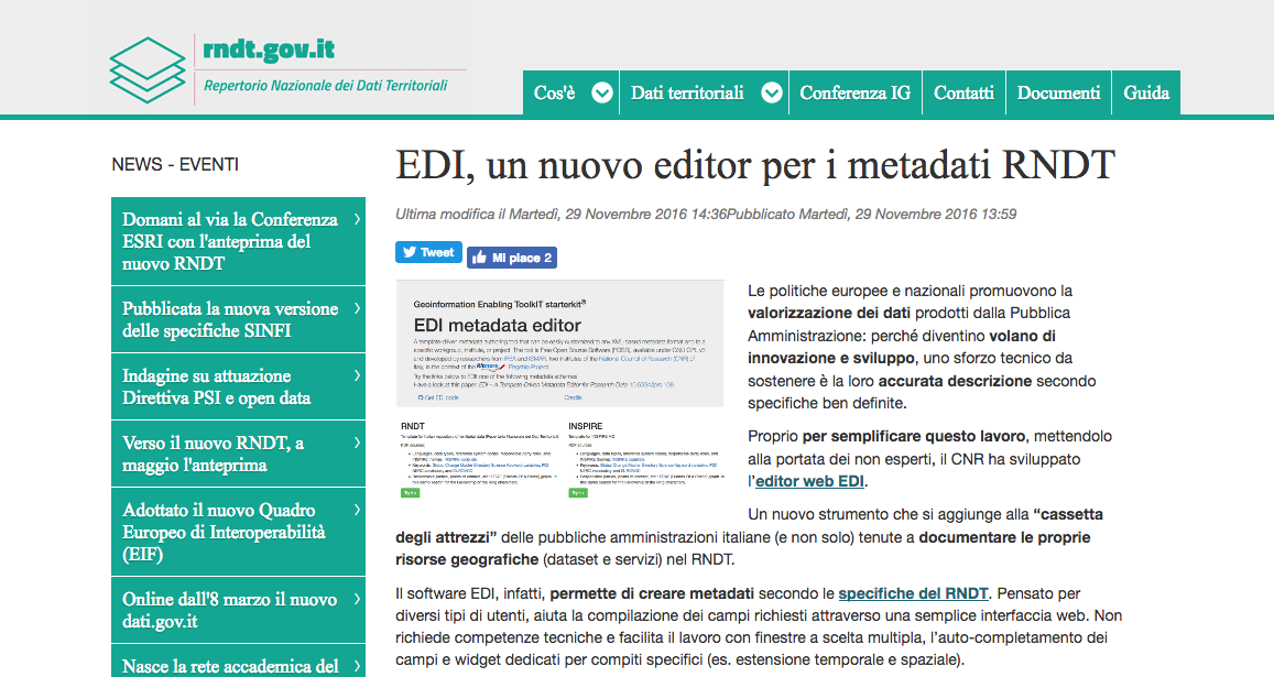
29 Nov 2016
The National Repository for Spatial Data suggested (more information here) EDI software as smart solution to be adopted. EDI was developed by CNR-IREA in the framework of RITMARE project to answer to quality and consistence challenges posed by geographic information systems. In fact EDI provides a set of templates to assist the user to easily create metadata by allowing a standard editing not only in an RNDT-compliant framework but also according to international and European directives (INSPIRE and SensorML).
This is foreseen by EDI flexibility to different user-cases such as research groups, research projects or institutions, and also the public administration sector with some benefits as reducing the data management load. EDI is released with Free Open Source (FOSS) GNU GPL v3 licence and is completely customizable. EDI is acknowledged in RNDT portal, the catalogue of Italian spatial data where they are archived as certified and available thanks to their metadata.
More information and technical details about EDI: Pavesi, F., A. Basoni, C. Fugazza, S. Menegon, A. Oggioni, M. Pepe, P. Tagliolato, and P. Carrara. “EDI – A Template-Driven Metadata Editor for Research Data.” Journal of Open Research Software - JORS 4 (October 25, 2016). 10.5334/jors.106.